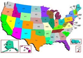
United States Department of Agriculture (USDA) officials have highlighted one of its newest web-based mapping tools, Your Food Environment Atlas, which will enable researchers, policy makers and the public to find information on a range of factors that affect access to healthy, affordable food, and will allow users to map the data by country.
The map is designed to provide detailed information on local food environments and health outcomes, including grocery store access and disease and obesity prevalence.
Developed by the USDA's Economic Research service, the Food Environment Atlas assembles information based on three broad categories of food environment indicators – food choices, health and well-being and community characteristics.
The demonstration of the mapping tool follows First Lady Michelle Obama's recent launch of the Let's Move! campaign, introduced to help combat childhood obesity.
'The First Lady has set an aggressive goal of solving childhood obesity within a generation because this epidemic is keeping our children from reaching their potential, and we're going to need new tools, greater collaboration and new partnerships to address this crisis,' said agriculture secretary Tom Vilsack.
'As we continue working to improve the nutrition of our kids, this new food atlas will be an important tool to help decision makers become more aware of local challenges that impact the overall health and nutrition of the American people in their local communities,' he added.


